On social media, it’s easy to find people enjoying public lands – #publicland #keepitpublic and #publiclandowner are just a few of the popular hashtags people use to show their love for recreating on America’s public lands. The U.S. has millions of acres of land for people to camp, hike and hunt. Planning to bowhunt this fall? Here’s how to find public land options open for hunting near you.
Public land is any area owned by the government, so it belongs to the public. The land either belongs to the state or federal government. If you’re looking for state-owned land, check with your state’s wildlife agency. Visiting the agency’s website is a good first step. Most agencies have maps online showing where public land is located.
The site should also tell you if areas are closed to hunting, have weapons restrictions, or if hunters require a special permit. Your state wildlife agency will have information about any regulations. Navigating seasons, restrictions and hunt areas can be confusing, so get clarification from an agency member if you have questions.
The U.S. government owns a lot of land – about 640 million acres. Some of it welcomes bowhunters. Visit www.recreation.gov to search for federal lands in your area. The site includes information about land managed by the National Forest Service, Bureau of Land Management and Bureau of Land Reclamation.
The U.S. Fish and Wildlife Service also administers millions of acres of public land. Many wildlife refuges are open to hunting, however some have specific hunting regulations and/or may require special permits. As always, if you have questions be sure to ask a member of the agency that manages the land.
Google Earth helps you identify and scout public land from your computer. Google Earth Pro on a desktop computer gives you the option to turn on features that help you identify public land. The application’s advanced satellite imagery also allows you to zoom in on the land and look for trails, travel corridors and landscapes where you would expect to find wildlife. Many bowhunters have learned that e-scouting is very efficient.
Apple was right when it coined the term, “There’s an app for that.” Today, you can find phone apps that help you identify public land areas open to hunting. These GPS-style apps, like OnX Maps and BaseMap, include maps with ownership boundaries that indicate which areas are public versus private. These maps are very helpful for locating land and are also valuable in the field.
The GPS features give hunters the real-time ability to make sure they’re hunting within the appropriate boundaries. You can also mark waypoints while you’re out and track your scouting/hunting paths. And you often don’t even need cell phone service to use this feature. Most apps allow you to download the map from the area you plan to hunt and use it offline. There are a variety of these apps on the market, and most are reasonably affordable.
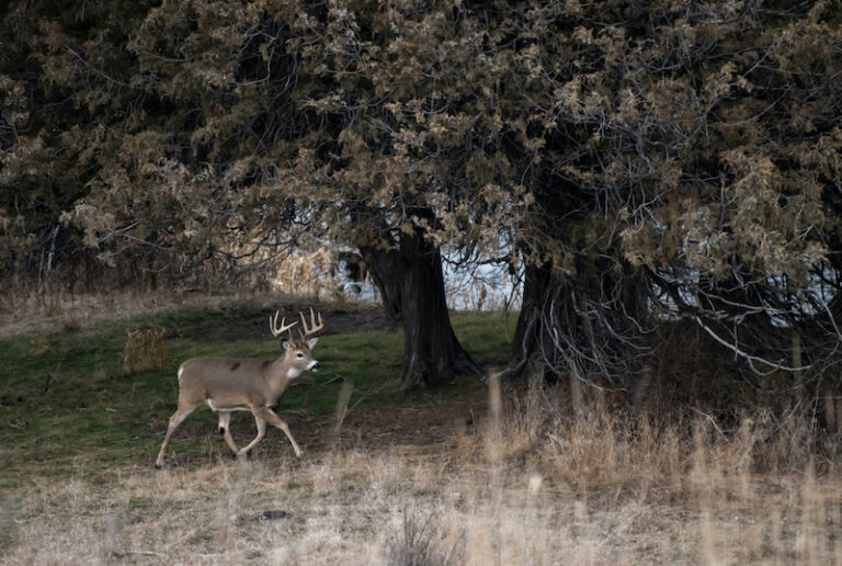
You can find plenty of reasons to give public lands a shot this hunting season. From massive wildlife refuges to small state parks, public lands can produce incredible animals and opportunities for bowhunters. With a little bit of research, you might find your new favorite spot.